Canary Islands Weather Chaos: Storm Therese Brings Heavy Rain and Disruption
The Canary Islands – a name that usually brings to mind sun, sand, and sea. But right now, the archipelago is showing a completely different side. For hours, Storm Therese has been raging over the islands, causing a state of emergency. The usually gentle breeze has turned into hurricane-force gusts, and the sky is unleashing torrents of rain that are astonishing even the locals. This is a severe weather event in the Canaries rarely seen this early in the year.
Storm Therese: The Islands in a State of Emergency
The system brewing over the Atlantic has a name: Therese. And it means business. An initial assessment is already in for Tenerife, Gran Canaria, Lanzarote, and the neighboring islands – and the impact is severe. Schools remain closed, public parks and beaches are shut down, and authorities have strongly urged everyone to stay indoors. Emergency lines were inundated with calls, mainly due to fallen trees and flooded roads. Air traffic has also faced disruptions, with several flights cancelled or diverted. It's chaos usually associated with distant hurricanes, now unfolding right on the doorstep of these holiday paradises.
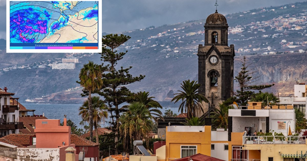
Extreme Rain Predicted: Up to 300 Litres per Square Metre
Meteorologists had forecast it, but the reality is exceeding predictions. In the higher altitudes of the islands, up to 300 litres of rain per square metre are expected. To put that in perspective, it's more than some regions receive in an entire year. The deluge is forcing its way down to the valleys, carrying debris and turning usually dry stream beds into raging torrents. The islands of La Palma, El Hierro, and the northern sides of Tenerife and Gran Canaria are particularly affected. What makes this Canary Islands severe weather so treacherous is the combination of rain and wind – gusts exceeding 100 km/h are common.
Quick Guide: How to Stay Safe During the Storm
For those currently on the islands or planning to travel, here are the key safety tips – a little survival guide for the storm:
- Stay indoors! Sounds basic, but it's the most important rule. Roads are slippery, branches can break, and the gusts are dangerous.
- Avoid coastal areas. Waves are reaching up to six metres high, and sea spray is causing dangerous flooding on coastal roads.
- Follow instructions from local authorities. In Spain, they are known as Protección Civil – if they call for evacuations, it's urgent.
- Check weather apps and news regularly. The situation changes hourly, and you don't want to drive into a closed-off zone unprepared.
This kind of storm in the Canaries is no joke – but with the right precautions, you can get through it safely.
What's Next? The Forecast for the Coming Days
The good news: Storm Therese won't last forever. From tomorrow onwards, the rain is expected to gradually ease, and by the weekend, the typical Canarian weather is set to return – plenty of sunshine and pleasant 22-degree temperatures. Until then, it's a matter of holding on. While island residents are used to some rough weather, a review of the current situation shows this is one of the most intense episodes in recent years. Authorities are also taking stock: fortunately, there have been no injuries so far, but the material damage is enormous.
So, if you're flying to the Canaries in the next few days, it's wise to check with your airline beforehand and perhaps postpone booking that rental car. Nature is showing its full force here – and it commands respect. We'll keep you updated on how this severe weather in the Canary Islands develops.