Google Maps Just Got a Serious Upgrade: Immersive Navigation is Changing How Kiwis Explore
There's a quiet revolution happening in our pockets, and it’s about to make that dog-eared city guidebook a souvenir of a bygone era. Google Maps, that trusty mate for getting you out of a jam on the Southern Motorway or finding a decent flat white in town, has levelled up. Big time. The new trick up its sleeve is something they're calling immersive navigation, and after a few goes, you'll wonder how you ever planned a trip without it.
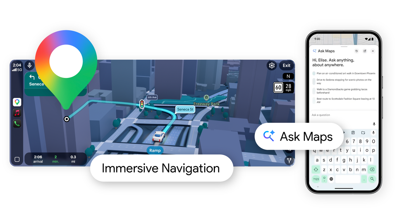
This isn't just a fresh coat of paint. It's a fundamental shift. Powered by the Gemini AI models, the app now lets you see your entire journey – whether it's a drive over the Haast Pass or a wander through the Edinburgh Fringe – in a rich, multidimensional preview before you even step outside. Think of it as a real-time, living diorama of your route. It fuses live traffic, local weather, and the general vibe of an area into one seamless, scrollable view.
Beyond the Flat Screen: Seeing is Believing
We've all been there, standing at a junction in a strange city, frantically switching between a map and street view, trying to get your bearings. This new feature effectively kills that hassle. By tapping into the vast library of Street View and aerial imagery, it builds a virtual model of the world. You can see the exact pub where you're meeting mates, spot the landmark turn-off you might otherwise miss, and get a genuine feel for the neighbourhood's atmosphere. For anyone planning a proper OE, the internal line has been that they're blending the detail of a Lonely Planet guide with the precision of a GPS. The result? You can virtually stroll past the Café de Flore before you've even booked your flight.
And it's an absolute game-changer for the more adventurous among us. Fancy a crack at Europe's highest peak? Before you even pack your thermals for a Mount Elbrus Hiking Guide 2026 adventure, you can use the immersive view to trace the standard summit routes. You can see the sweep of the Caucasus glaciers, the layout of the high-altitude huts, and the sheer scale of the terrain. It's like having a recon team do the legwork for you from your couch.
From the Scottish Highlands to the Borneo Jungle
This isn't just for the alpinists, though. It brings a new dimension to city breaks and far-flung expeditions alike. That Edinburgh Travel Guide you've been flicking through will tell you the Castle is on a rock. Immersive navigation shows you the brutal, beautiful climb from the Grassmarket, simulates the crowds on a festival day versus a dreich Tuesday, and lets you pinpoint that tucked-away bookshop you'd otherwise walk right past.
The real magic, however, is reserved for places that feel genuinely otherworldly. Take the Mulu Caves in Sarawak, Malaysian Borneo. Trying to picture the scale of the Sarawak Chamber – the largest cave chamber in the world – or the dense jungle trek to get there is nearly impossible from a two-dimensional map. Now, you can virtually fly over the rainforest canopy, trace the boardwalk routes through the UNESCO World Heritage site, and drop yourself into the gaping mouth of the Deer Cave. It turns an abstract pin on a map into a tangible, awe-inspiring destination you can mentally walk through before you arrive.
Here is how this new lens changes the game for the modern explorer:
- Pre-visualise any journey: See the route, the surroundings, and the conditions in one fluid, time-synchronised view.
- Scout trails like a pro: Suss out the difficulty of a Mount Elbrus trek or a Mulu jungle tramp from the safety of your sofa.
- Discover contextually: Ask Maps for "cafes with a view" or "quiet picnic spots," and Gemini will serve up suggestions you can instantly preview in 3D.
- Stay ahead of the weather: The view updates with live conditions, so you'll know if that sunny forecast for Arthur's Seat has taken a turn for the worse.
We've moved past the era of static maps and detached guidebooks. Google Maps is stitching the two together, creating a dynamic, intelligent portal to the world. Whether your next big adventure is a tramp up a volcano or a trek into the Borneo jungle, you can now see exactly where you're going. And that, for anyone with even a hint of wanderlust, is a bloody brilliant thing.